Each task is different, but we follow the best practice below.
- Design
The solution of the task always begins with active planning. Based on the information received from clients, a preliminary reconnaissance flight will take place in addition to the on-site visit.
During the planning phase, the parameters of the flight – route, flight altitude, etc. are determined. – aerial and ground equipment, spectral ranges, additional measurements to be used according to the intended task.
- Data Collection
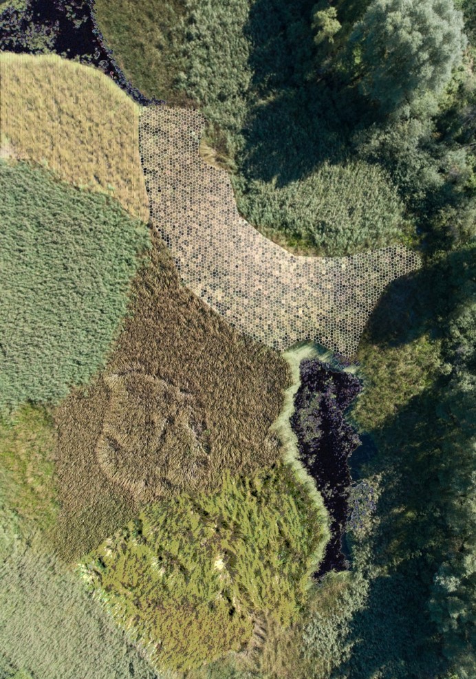
Data collection captures integrated visual and non-visual data generated by the aircraft (s), as well as ground references and other additional data.
The device system used includes domestically developed, purpose-built, target-oriented sensing and carrier devices.
- Data Processing
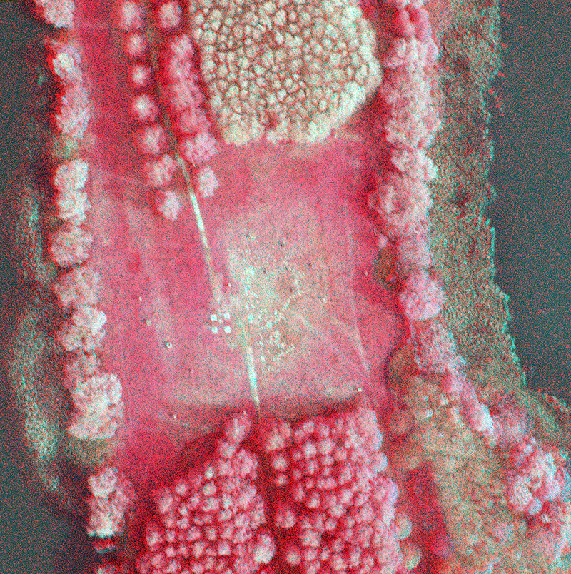
The data processing process consists of pre-processing, artificial intelligence-based processing, and post-processing with validation.
Special emphasis is placed on self-developed content and structure-based image enhancement and classification procedures.
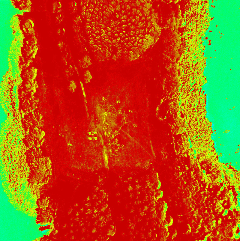
We implement time- and space-optimized data selection processes during processing.
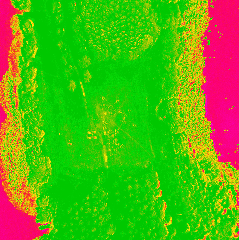
- Results
The results shall be verified in all cases and, if necessary, refined with measured reference data or other reliable metadata for the real conditions. The obtained results can be provided in the form of a separate thematic evaluation by inserting them into a GIS database, with cloud-based availability or transfer on a protected data carrier